
Day 34, Saturday 10/19, The Lost Mine Trail and Balanced Rock
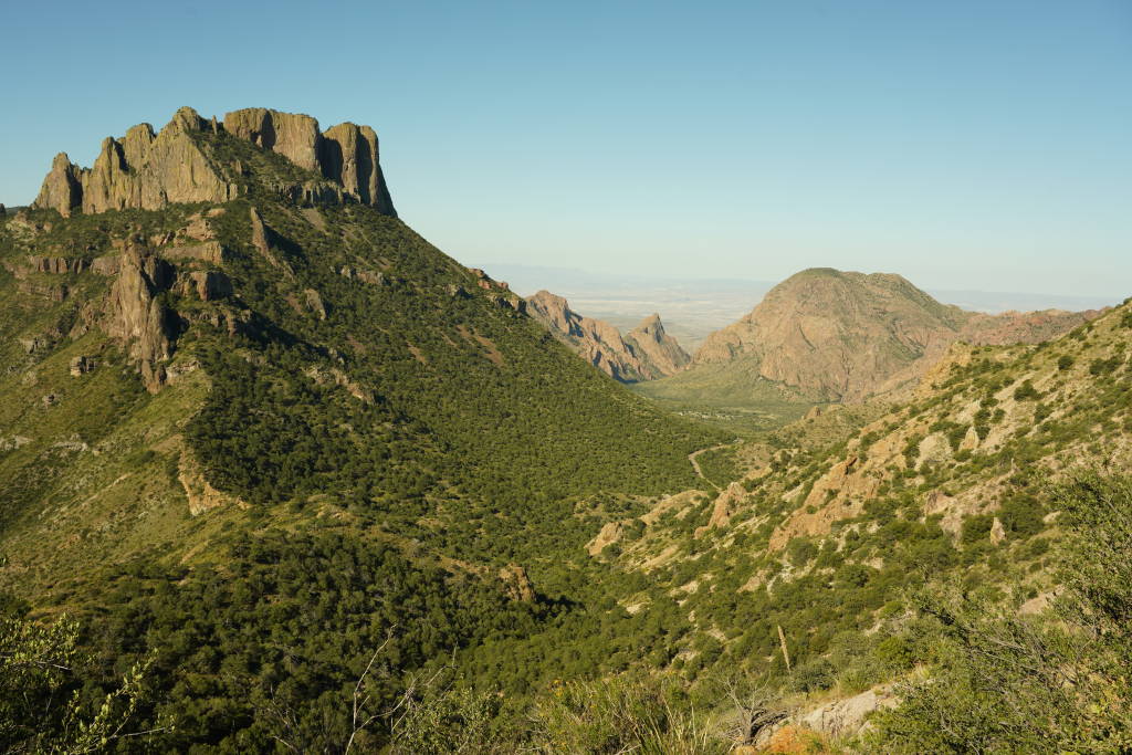
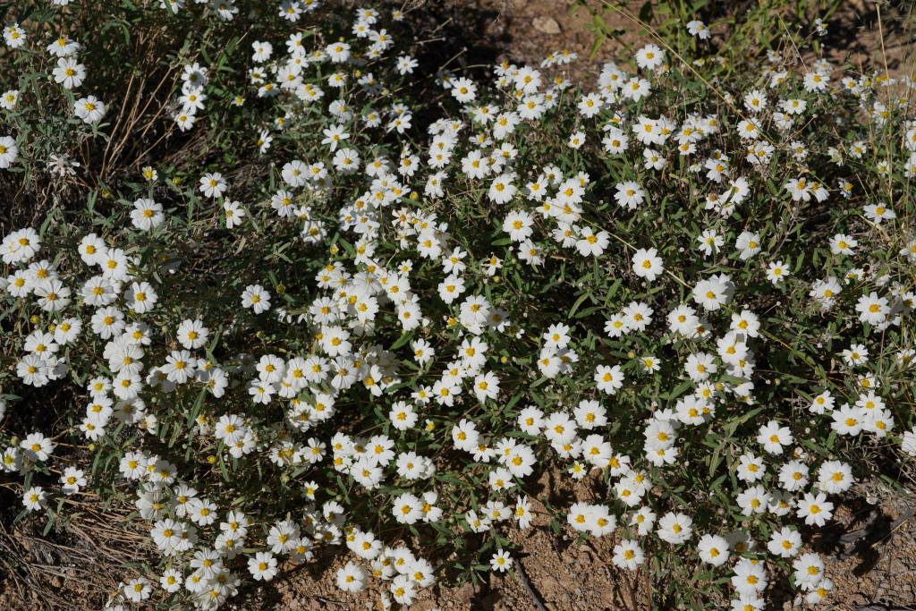
A very popular trail in the park is the Lost Mine Trail, the trail is 4.8 miles with 1,100 feet of elevation gain. A ranger told me the wild flower are in bloom along the trail, sure enough, they were plentiful with great variation, what a nice surprise and unexpected in late October. The trail is noted for great views of the Chisos mountain range, pictures below. The Chisos (think cheese sauce) range is entirely contained within Big Bend NP. In the area of the trail is a park lodge, store, and restaurant. This park has low visitation, and as a result, has much more basic amenities than the high end parks. The lodge is basic and so are most of the park services. We were told there is talk by Texas elected representatives of finding more funding for this park. The locals are opposed to the funding increase which will destroy the rustic feel of this destination by adding zip lines, amusement parks, fast food strips and Starbucks. Try to keep this small corner of wilderness wild, please!


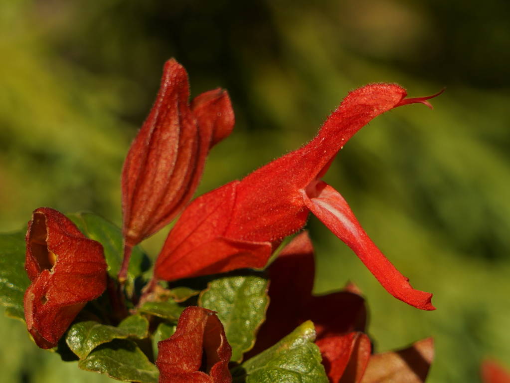


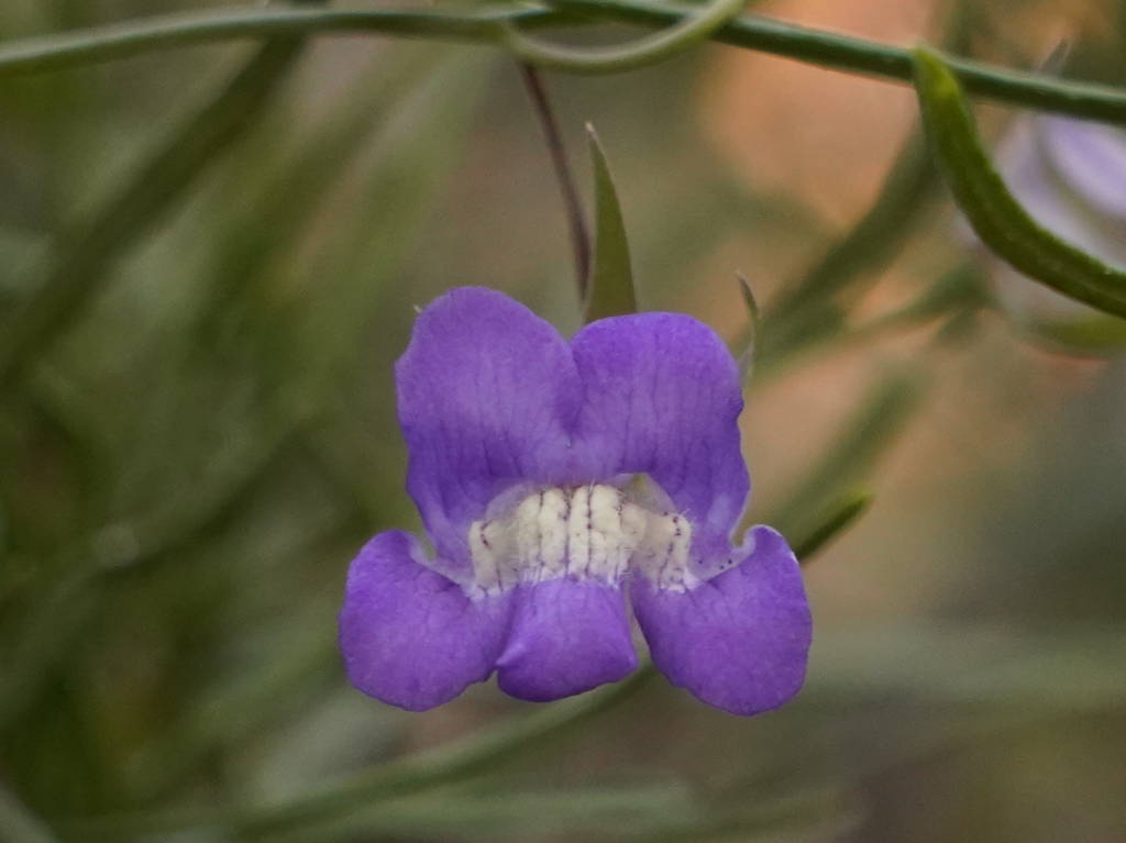


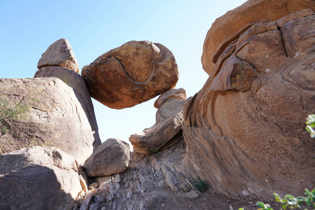
The balanced rock is a sight for visitors. Getting there involves driving 7 miles on an unpaved road and hiking 2.2 miles across the desert. The unpaved road is passible by most vehicles, but considerably bumpy and very dusty. Some of the park roads are unimproved, and require 4WD. The seven miles feels like the road to nowhere, with travel speed ranging from 5 to almost 20 MPH. the dust trail is so thick, you can taste it. Few cars go to this location, most are SUV, and a rental car or two 😉 The trail head has a sign, passage is via a desert “wash”. While the temperature is 10 degrees cooler (82 F) than the short hike yesterday, we had concern about repeat of a desert hike in hot sun conditions, but it was much more pleasant. Walking the wash was like walking through a desert garden. Wild flowers are all over in various bouquets.


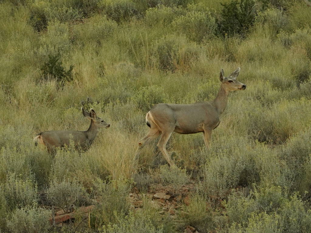
There is a rocky climb toward the end to see the balanced rock. The rock is colorful and patterned reds and whites. The trail scrambles, zigs, and zags, then it is there. The balanced rock is impressive, the views are great, and the artwork is all around, very nice! On the walk back, a few lizards scrambled to hide, a beautiful grey kit fox, and a doe and fawn pair. On the return drive, two Road Runner do their Beep Beep in front of the car.


Day 35, Sunday 10/20, Brackettville, TX
The best of the day is,….. drum roll,…. The Prickly Pear Martini!! This is a new specialty beverages created just for our consumption, and it has a slow warm up and fine finish. Recipe: slice and half one ripe Prickly Pear, be aware of spikes, scoop the bright red innards and mull in a coffee cup. Add a little water and 1/2 teaspoon sugar. Over ice pour 1 part dry vermouth, 2 parts vodka, spoon the prickly pear equally into the 2 glasses, garnish with a thin lime slice squeezed. The result is a colorful elegant drink with subtle flavor of the cactus, and light sweetness. Cheers


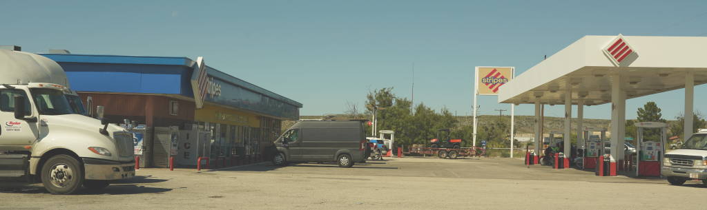
Lunch is at Stripes, a rural truck stop, serving up burritos to the truckers and stray tourists. One chicken, one beef, they are meaty, tender and tasty.
US Border Patrol has a heavy presence in southern NM and TX, white marked and unmarked vehicles abound. We passed through check points, this is not new. I experienced this in much greater numbers during field work at Nogales AZ, a hot spot on the border 12 years ago. One of the facilities we passed in TX is quite large, and appears to be a new retention facility, not sure.
US-90 (not I-90) travels east-west and passes the Amistad National Recreation Area. Amistad Lake and Devils Lake are created by a dam in the Rio Grande. The water is vivid blue, it is quite striking! I expect the color is due to the suspended silt levels in the impounded typically muddy Rio Grande. The man made lake straddles the border, and provides boat launches for recreational boating on the US side. A border crossing is located on the east side. A remarkable number of storage units are located in the Lake View village of less than 50 visible homes and a few storefronts. What could they possibly be storing at this small border town???

Bracketteville is less than an hour drive, the old fort at Clark Springs is an interesting place and includes an RV park. The local market is Lowes, where we replenish the pantry and fridge. Our RV neighbors on one side is a pair of birders, he said he is here to see a bird (one), and will stay a second night if he doesn’t see the bird. The springs and river within the park is a oasis for certain types of birds. There is also a thousand acres reserved for prize game hunting at the old fort property.
